Spot Guide › Egypt › Dahab – Masbat
Dahab – Masbat

Egypt · 28.5020, 34.5200

Wing Foiling Fortgeschritten · Pro
Source
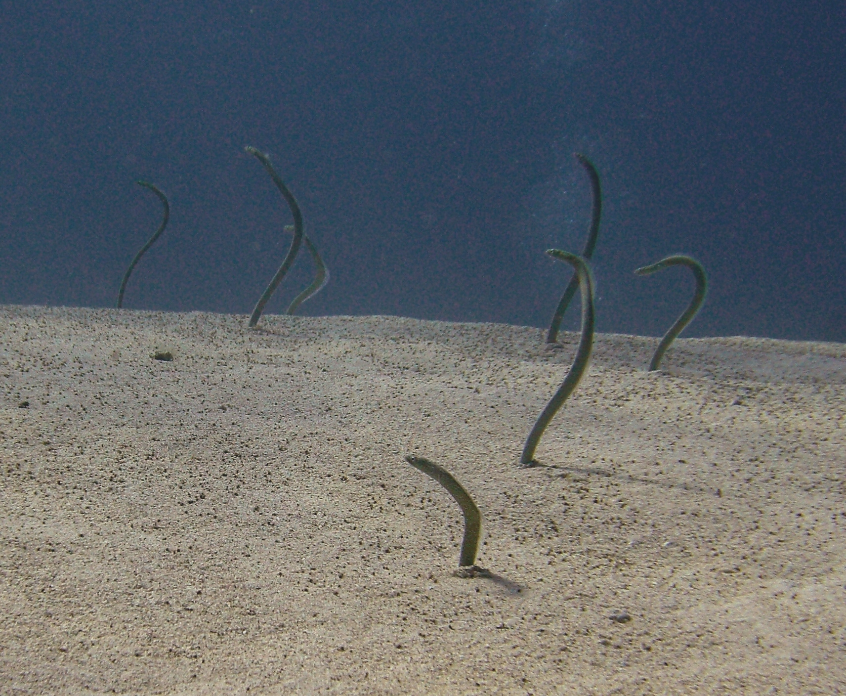
CIMG2630 Galzins Garden Eel at Eel Garden, Dahab, Egypt (2693641328).jpg
Photo by Tim Sheerman-Chase · Wikimedia Commons · CC BY 2.0

1
wind meter
2
guides & forecasts

conditions & access

Best wind

N

Season

Mär–Nov

Water

Chop

Experience

Fortgeschritten · Pro

“Dahab lies on the Sinai Peninsula on the west coast of the Gulf of Aqaba. Because the wind is squeezed down the narrow gulf, it is often windier here than at other Egyptian spots. Masbat is the town's central bay, set between Assala and the Lighthouse – a lively diving and surf town on the reef. The windsurf and kite zones are structured by reefs: flat water sits inside, ideal for freestyle, speed and technique. Beyond Napoleon Reef the open sea opens up with swell that can run to several metres FindWingFoil's worldwide top-10 guide independently includes Dahab as a broad wingfoil destination.”

— via VentoSurf, last verified 2026-08-04

Live wind

wx.ikitesurf.com 659744 — WX Nearest live iKiteSurf station (nearby, not confirmed at launch): GW5755 NEOM SA (33.26 mi) — https://wx.ikitesurf.com/spot/659744 wx.ikitesurf.com

Surf forecasts

surfline.com %4028.50200%2C34.52000%2C12Z — Surfline Nearby coordinate-centered Surfline map (not an exact spot report): https://www.surfline.com/surf-reports-forecasts-cams-map/%4028.50200%2C34.52000%2C surfline.com

Local guides

findwingfoil.com Top 10 Wing Foiling Spots Around The World — FindWingFoil https://findwingfoil.com/top-10-wing-foiling-spots-around-the-world findwingfoil.com

Links are community-sourced and open directly on the provider's site. Verify conditions locally before riding.


know this spot?

The guide is community-built. Add what's missing and every rider after you gets a better page.

Add a webcam Know a live camera that shows this water? Link it and riders can check conditions before the drive. takes a minute Add a wind meter A weather station or live wind meter near the launch — the single most useful link a spot can have. takes a minute Add photos The launch, the rigging area, the water on a working day — real photos show riders what they're driving to. takes a minute Suggest a correction Conditions, hazards, parking, the map pin, a downwind route — fix anything local knowledge can improve. takes a minute

Riding here? Download OpenWater — every speed category, time on foil and session replay, free and open source.