Spot GuideAntigua and BarbudaSaint PhilipGreen Island north beach — Nonsuch Bay

Green Island north beach — Nonsuch Bay

Saint Philip, Antigua and Barbuda · 17.0698, -61.6625

Wing Foiling Lessons with dinghy support; boat-only a
Open in Google Maps Source
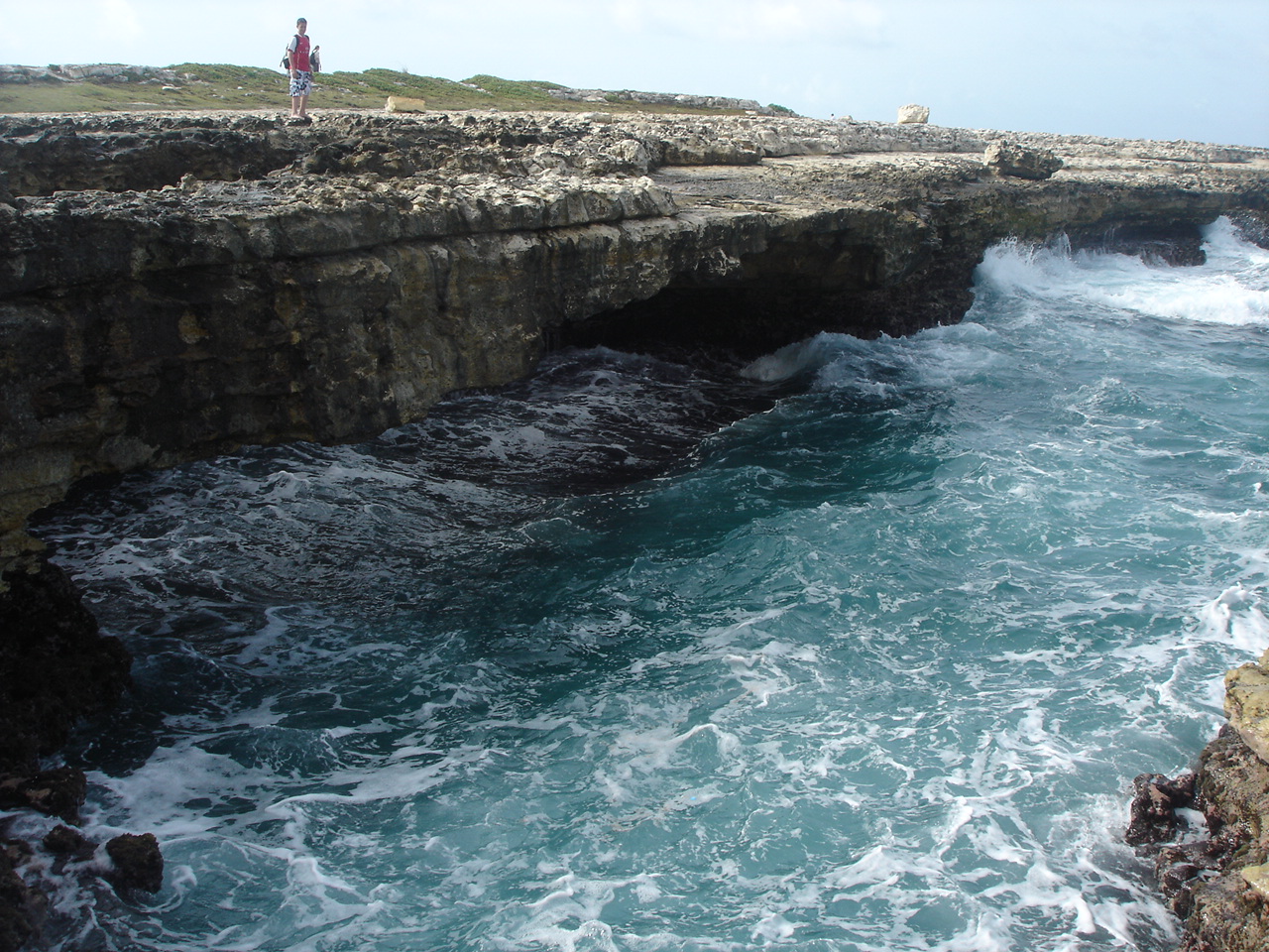
Devils Bridge - Antigua.jpg
Photo taken near this spot by Tomhennigan · Wikimedia Commons · Public domain

1
wind meter
2
guides & forecasts

conditions & access

Best wind

Trade-wind exposure; exact safe direction requires operator guidance

Season

Seasonal school dates; currently published late November–March/May

Water

Reef-protected Caribbean bay / flat water

Experience

Lessons with dinghy support; boat-only access

Hazards

Boat-only island access, outer reef, and an operator-selected north-beach landing; use dinghy support and current reef guidance.

“The school explicitly teaches wing foiling from Green Island's north beach at the mouth of Nonsuch Bay. It describes flat warm water protected by an outer reef, consistent trade wind, dinghy-assisted instruction, and boat-only access. Pin is the mapped island centroid rather than the north-beach landing; book pickup and use the operator's current landing and reef guidance. Requested-field batch verified 2026-08-01: exact-versus-nearby resource labels retained; unknown fields were not inferred.”

— via 40knots local Antigua wingfoil school, last verified 2026-08-01

Live wind

wx.ikitesurf.com Willikies (1.15 mi) Nearest live iKiteSurf station (nearby, not confirmed at launch): Willikies (1.15 mi) — https://wx.ikitesurf.com/spot/700725 wx.ikitesurf.com

Surf forecasts

surfline.com Green Island north beach — Nonsuch Bay Nearby coordinate-centered Surfline map (not an exact spot report): https://www.surfline.com/surf-reports-forecasts-cams-map/%4017.06981%2C-61.66251%2 surfline.com

Local guides

40knots.net Green Island north beach — Nonsuch Bay Exact local school and named island beach; boat-only access — https://www.40knots.net/ 40knots.net

Links are community-sourced and open directly on the provider's site. Verify conditions locally before riding.
nearby spots

Grande-Terre, Guadeloupe Plage du Souffleur outer-reef foil wave — Port-Louis Prone Foiling wind · guides

know this spot?

The guide is community-built. Add what's missing and every rider after you gets a better page.

Add a webcam Know a live camera that shows this water? Link it and riders can check conditions before the drive. takes a minute Add a wind meter A weather station or live wind meter near the launch — the single most useful link a spot can have. takes a minute Suggest a correction Conditions, hazards, parking, a better photo — fix anything on this page that local knowledge can improve. takes a minute

Riding here? Download OpenWater — every speed category, time on foil and session replay, free and open source.